Loading…
All Chases
Confirmed TornadoSquall Line
Central Iowa QLCS
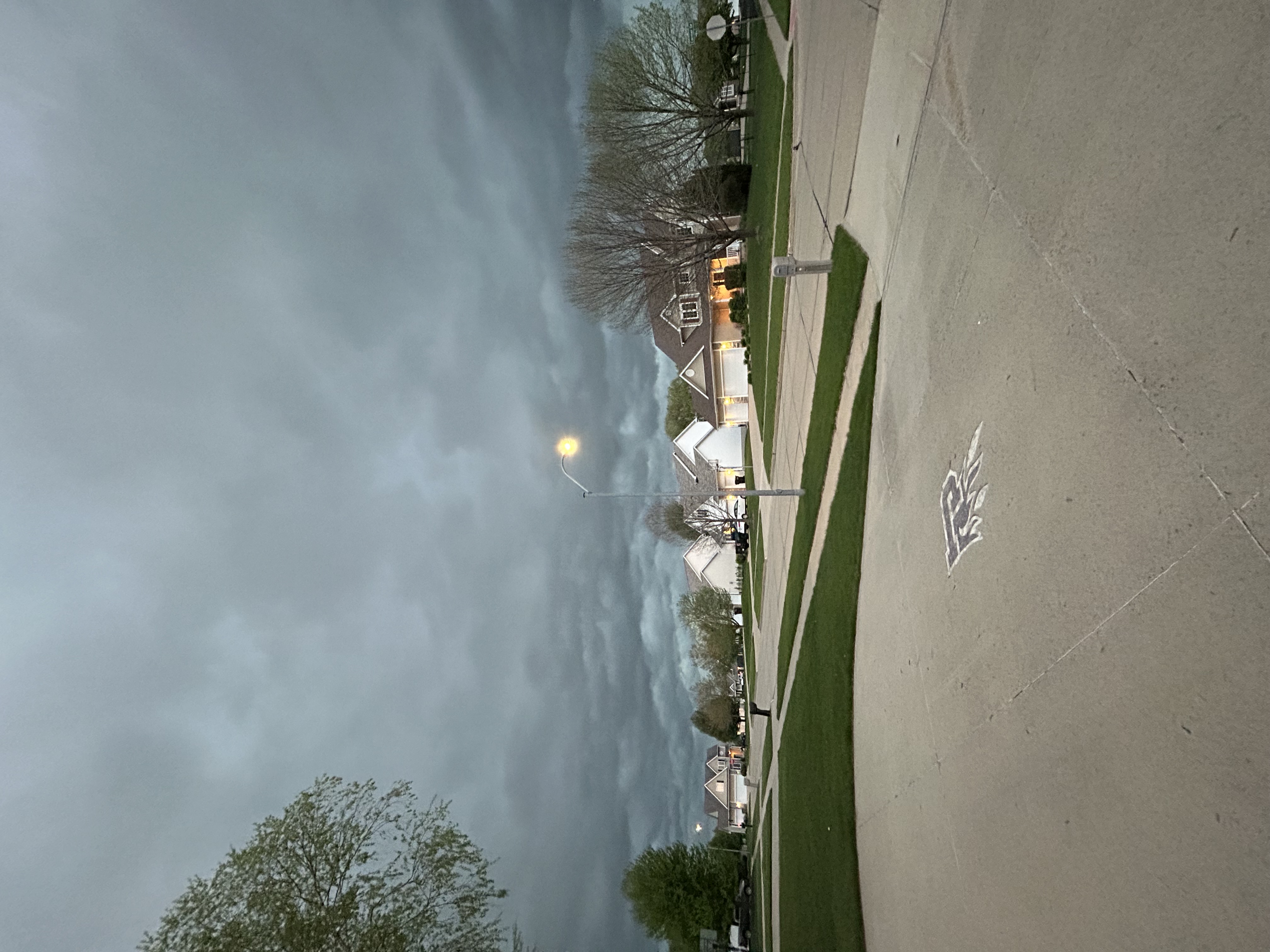
Thursday, April 23, 2026Johnston, Iowa86 views
A Tornado-Warned QLCS impacted Central Iowa, specifically the Des Moines metro, bringing 60-70 mph gusts, pea-size hail, and heavy rain. Two confirmed tornadoes occurred, with one near Huxley, Iowa, and another near Mitchellville, Iowa. No structural damage has been confirmed.
Chase Report
A Slight Risk was issued for most of Iowa on Thursday, April 23rd. This was due to the enhanced kinematics where a potential secondary vort max would eject near the base of the main trough. Shear values around 35-45 knots supported an organized squall line with the potential for one, or two discrete supercells further south. While the Low-Level Shear at 0-1 km was robust, the Deep-Layer Shear at 0-6 km was weaker which meant any tornadic storm that tried to spawn a tornado would not efficiently organize meaning the tornado potential was hindered. Although the QLCS did produce a few tornadoes, they were relatively weak and roped out immediately, showcasing the weak deep-layer shear.
Lessons Learned
Even in an environment with weaker deep-layer shear, a QLCS can still produce spin-up tornadoes that cause significant damage.
Storm Data
Max Hail
0.25"
Max Wind
60 mph
Duration
1 hour
Report By
Arav Kulkarni
Storm Chaser